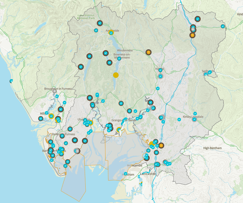
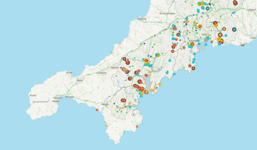
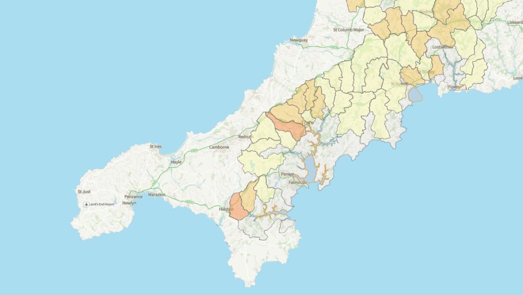
Access to clear, timely water quality information can be extremely useful information for anyone working in shellfish production. To support members in making informed decisions, the Shellfish Association of Great Britain (SAGB) has developed the Shellfish Waters Map — a practical, member-only tool bringing together multiple environmental data sources in one place.
Designed specifically with shellfish growers and harvesters in mind, the map provides real-time insight into what is happening in and around your shellfish waters, helping you better understand pressures, risks, and wider catchment context.
What does the Shellfish Waters Map show?
The map brings together both point source and diffuse source data layers, allowing members to view individual inputs as well as wider catchment-level summaries.
Point source data
These layers highlight identifiable sources of discharge or pollution, including:
- Water company live alerts
- Sewage treatment works
- Treated sewage discharges (2023)
- Storm overflows (CSOs)
- Environmental pollution incidents
This information helps members quickly see when and where discharges or incidents are occurring close to their shellfish areas.
Diffuse source data
Diffuse inputs are often harder to track but can have significant cumulative impacts. The map includes:
- Environmental pollution incidents (Categories 3 & 4)
- Dissolved phosphorus
- Manure volumes
- Septic tanks
- Sewage treatment works
- Overall summaries for catchment areas
These layers provide valuable context on broader land-based pressures influencing water quality over time.
What’s coming next?
The Shellfish Waters Map is designed to evolve. As part of this ongoing project, the following layers are planned to be added:
- Harmful Algal Blooms (HABs)
- Turbidity
These additions will further strengthen the map as a decision-support tool for the sector.
Make use of this tool
By bringing multiple datasets into a single, easy-to-use interface, the Shellfish Waters Map:
- Supports better day-to-day decision making
- Improves situational awareness around pollution events
- Helps members understand catchment-scale pressures
- Strengthens evidence when engaging with regulators, water companies, and other stakeholders
It is not a compliance tool, but a practical intelligence resource — built to support the realities of shellfish production in a changing environmental landscape.
How to access the map
The Shellfish Waters Map is available to all SAGB members via the Members’ Portal on the SAGB website.
We actively welcome feedback from members — your experience will help shape future improvements and data additions. Please complete the form here